PIX4Dfields
Includes 100 satellite credits per year
$1,990 /year
Licenses
Add 2 more licenses to get 5% off.
Licenses, processing credits and certified training for agriculture, survey, construction and public safety. Buy online in minutes, with real support in English or Spanish.
No drone? Monitor thousands of acres in minutes by satellite →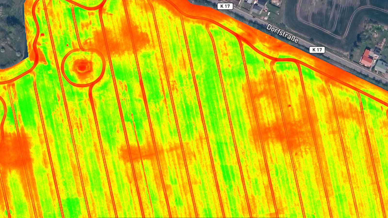
 Authorized PIX4D reseller
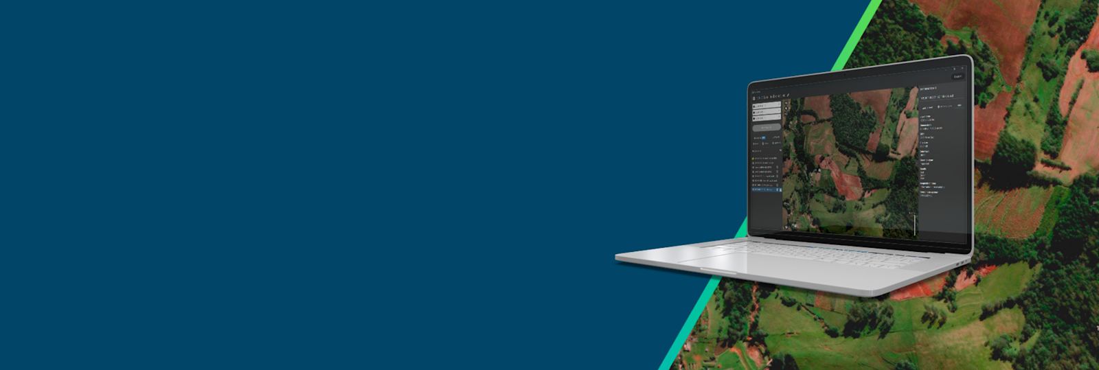
PIX4Dfields brings satellite imagery straight into your fields: vegetation indices, zones and prescription maps for every field, all season, without flying. The yearly license includes 100 satellite credits.
PIX4Dfields turns raw imagery into decisions in minutes, right in the field and even offline.

Fly any RGB or multispectral drone, or import satellite imagery.
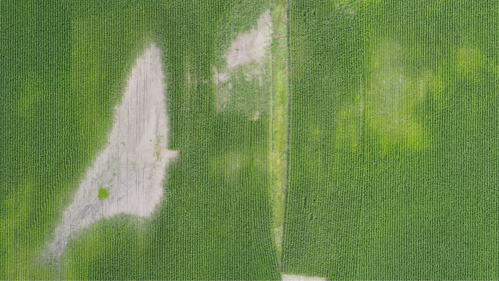
Get an orthomosaic of your field in minutes, on your laptop.
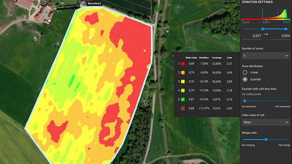
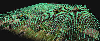
Vegetation indices and management zones show where crops need help.
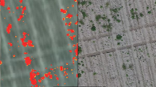
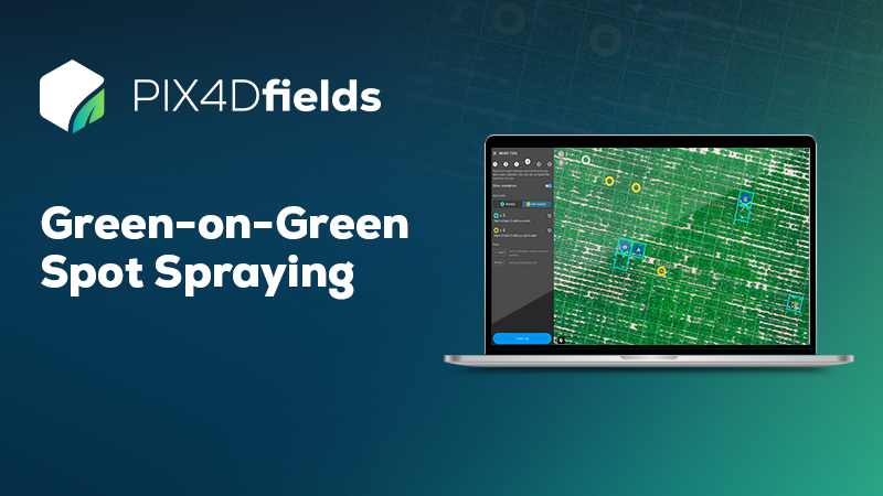
Export variable rate and spot spray maps to drones, tractors and sprayers.
Add licenses to your cart, mix products and check out once. The volume discount is applied automatically.
Drone and satellite crop maps, vegetation indices and ready to use prescription maps for spray drones, tractors and sprayers.
Includes 100 satellite credits per year
Add 2 more licenses to get 5% off.
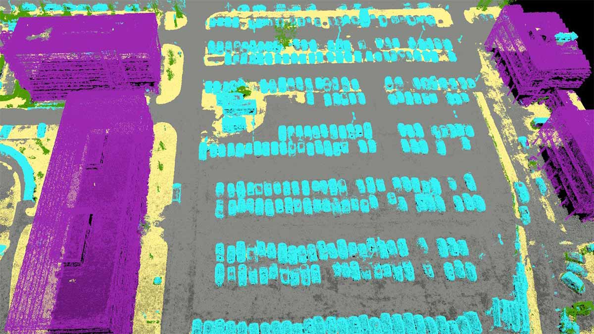
Large scale photogrammetry for drone, mobile and LiDAR data, with terrain outputs and CAD ready vectors. The successor to PIX4Dmapper.
Terrain, DTM, contours and CAD extraction
Add 2 more licenses to get 5% off.
Point clouds, mesh, DSM and orthomosaics
Add 2 more licenses to get 5% off.
Everything in Standard and Analyst
Add 2 more licenses to get 5% off.
Process, store and share 2D maps and 3D models online, with unlimited collaborators and site progress tracking.
500 processing credits per year
Add 2 more licenses to get 5% off.
2,500 credits per year, site tracking
Add 2 more licenses to get 5% off.
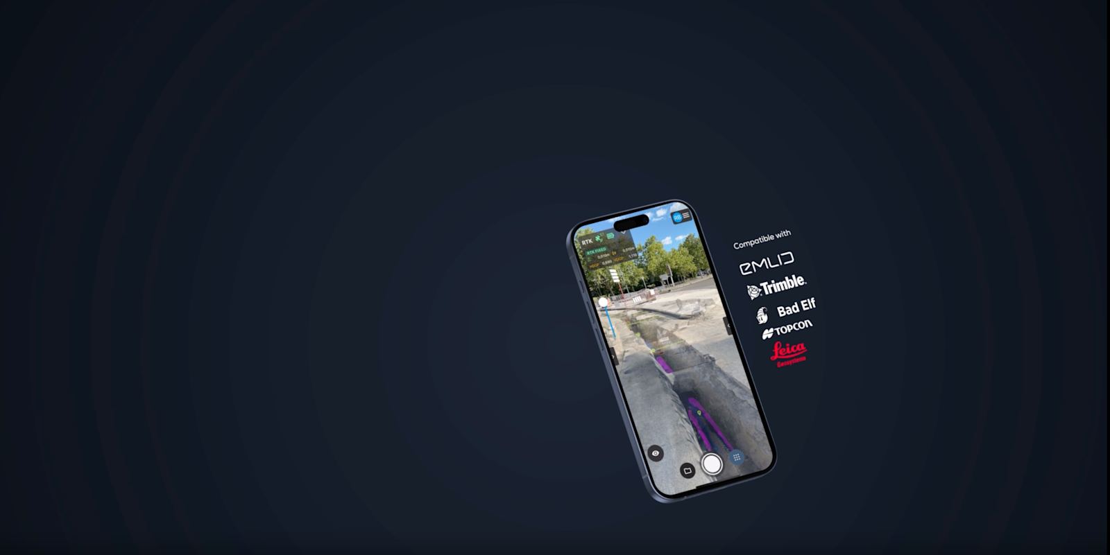
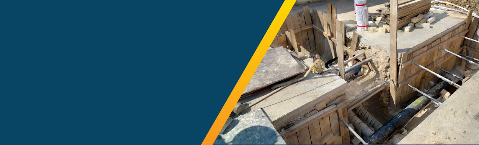
Turn your phone into a survey grade 3D scanner with RTK support, for trenches, utilities and small sites.
RTK georeferencing and AR
Add 2 more licenses to get 5% off.
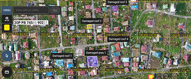
Fast 2D maps processed in minutes, even offline, to document scenes and coordinate response teams.
Floating license, 1 device at a time
Add 2 more licenses to get 5% off.
Prices in USD, excluding taxes. Licenses are delivered by email as a PIX4D license code.
Onboarding, support and training in English and Spanish. Most PIX4D help in the US is English only.
Pay online and receive your PIX4D license code by email within one business day.
Original PIX4D licenses with the same terms as buying direct, plus a certified PIX4D trainer on our team.

Credits run cloud processing in PIX4Dcloud and PIX4Dcatch, and satellite imagery in PIX4Dfields. Add them to any license.
Get productive faster with a certified PIX4D trainer. Live sessions run online, in the language your team works in.
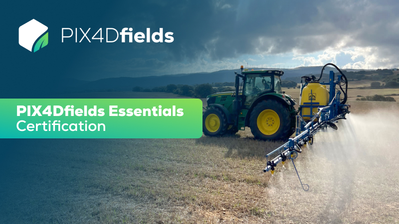
Live online course with our certified trainer, in English or Spanish.
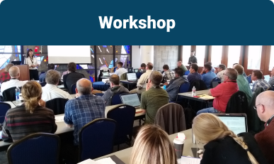
Join a scheduled group class online.

A live session tailored to your project.

Scheduled on your dates, for your whole team.
Official self-paced Essentials course.
Official course plus certification exam.
Official course plus certification exam.
Tell us what you need and we reply within one business day.
After payment we email you a PIX4D license code within one business day. You redeem it in your PIX4D account and the software is ready to use.
Yes. Add everything to the cart and pay once. With 3 or more licenses the volume discount is applied at checkout: 5% from 3 and 8% from 5.
Yes. Yields Logic is an authorized PIX4D reseller for the United States. Licenses are original PIX4D licenses, with the same terms as buying direct.
Yes. Onboarding, support and training are available in English and Spanish.
No. Each purchase covers the term you choose: one month, one year or three years. We remind you before it ends. Delivered licenses are not refundable; see our refund policy.
Prices are in US dollars and exclude applicable taxes.
 Built in the USA
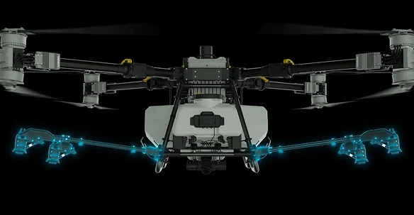
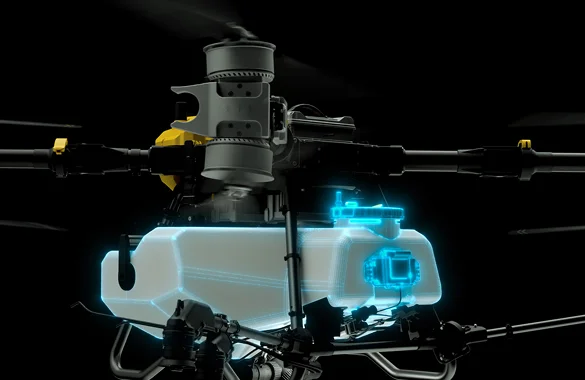
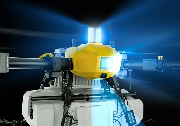
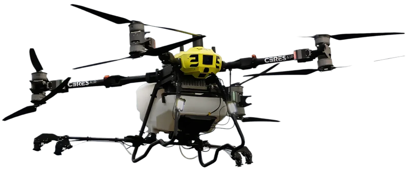
Pair PIX4Dfields prescription maps with an American-built, NDAA-friendly spray drone. We are an authorized distributor through Raptor Dynamic, with setup and training in English or Spanish.
Operating a spray drone in the US requires an FAA Part 107 remote pilot certificate, a Part 137 agricultural aircraft operator certificate and the related exemptions, plus a state pesticide applicator license. We guide you through the process.